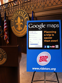
It was a lively and spirited discussion about what information is currently available, what the public would like to see, and ideas for apps and websites that can use and combine the data in a useful way for citizens and visitors. A number of datasets were pinpointed for future release by the city and TARC, including real-time GPS TARC bus locations, safe biking routes, pedestrian and bike injury/fatality locations, and locations of all parking garages and meters.
Other datasets were requested by people, but with no timeline or ability to release yet, including TRIMARC camera, sign and speed info, TARC bus real-time capacity and historic ridership info, real-time parking meter and garage occupancy, and real-time 311 calls.
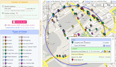
Some developers showed off mobile and web apps they had been working on, including a total overview of the TARC system on a Google map, a mobile iPhone app that combined TARC stops and routes with data from the Your Mapper API (restaurants, car accidents, crime, etc), and an app for blind people to navigate the bus system easily.
Other ideas were for a widget that restaurants can embed in their site showing their current health rating with interactive transit and biking directions to their location, a bike safety site, a mobile app that would alert riders when their bus was getting close, a site that would show you how far you could get on TARC in a certain time frame, and a parking space finder and bike lockup finder tool.
Looking forward, I'd like to hold a camp every time a new dataset is opened by the city. Also, some people requested a Hack-a-thon which would be more tech focused and allow local programmers to create actually apps and sites over the course of a day using the available open data. I'll help put this together as the interest level rises and more data becomes available.


